 Explore the street map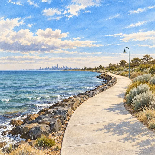
Bay Trail
Follow the foreshore from Brighton towards Ricketts Point.

A new community voice for Bayside
Safer streets. Leafier neighbourhoods.
More room for everyone to enjoy Bayside.
Local routes. Active groups. Street improvements.
Find a local outing, see where busy roads interrupt everyday trips, and follow the projects that could improve our streets.
Our trip model strongly favours quieter routes, even when they’re longer. The street explorer shows the high-stress crossings and road sections that still remain on trips to school, stations and local centres.
The Kirkwood Street school-run example shows how Reserve Road and Balcombe Road create a barrier in Beaumaris.
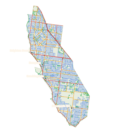
Lower → higher cycling stress · simplified preview
Street data: VicBUG / OpenStreetMap contributors · Boundary: ABS
Places to get moving
20 mapped outings, from park circuits and coastal walks to longer neighbourhood rides. Choose a route to see its distance, starting point and traffic-stress colours.
Explore all 20 outingsFollow the foreshore from Brighton towards Ricketts Point.
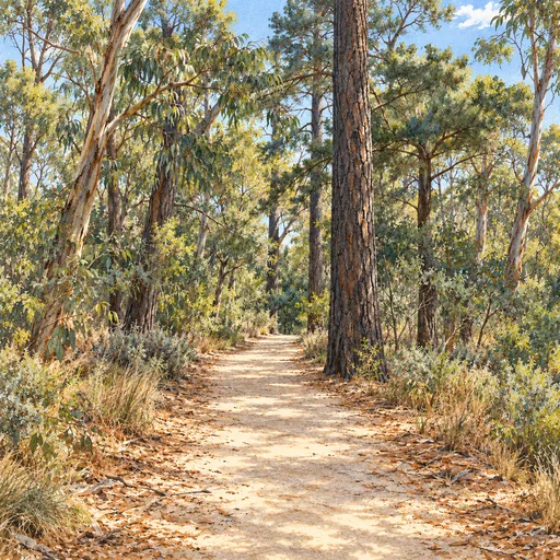
A short bushland walk along the park’s mapped paths.
A cycling loop linking local streets and the coastal path.
Suggested routes use mapped paths and streets and have not been field checked. The route map distinguishes traffic stress and mapped unpaved surfaces.
Walking, running, cycling & outdoor adventures
Meet people who enjoy getting active. Our directory brings together 11 groups in and around Bayside, with links to check their activities and find a suitable session.
Browse local groupsCouncil projects & public spaces
Track local infrastructure proposals and upgrades affecting walking, cycling and public spaces. Check the source links for delivery details and opportunities to have your say.
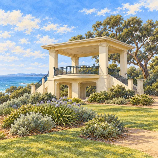
A $2.2 million upgrade between Crisp Street and Ratho Avenue, with improvements to footpaths, trees, planting, seating and public spaces. Consultation has closed; construction is anticipated in 2027.
View Council’s project (opens in a new tab)A proposal to separate walking and cycling between Dendy Beach Pavilion and Green Point. Council endorsed the concept in February 2026; further development and funding are still needed.
Read Bicycle Network’s update (opens in a new tab)A new beginner-friendly pump track to help young people build riding skills. Council has established the location and outline and is developing the design.
View Council’s project (opens in a new tab)Upgrades to the Tulip Street Park dirt jumps and Elsternwick Park South skatepark are priority projects in Council’s draft 10-year Skate and Bike Action Plan.
Explore Council’s plans (opens in a new tab)Project information checked . These are Council projects; follow the source links for the latest details and opportunities to have your say.
About the group
We’re a local group taking shape around safer walking, wheeling and cycling in Bayside. Cycling helped spark the idea, but our focus is everyday local trips for people of different ages and abilities.
This site brings together route information, street-stress mapping and local project updates to help people get active and identify improvements.
Questions, ideas & partnerships
Ask a practical question, suggest a place or street improvement, or talk about working together.